

Sud-Larzac

VacheKiri67
User

Length
18.4 km

Max alt
828 m

Uphill gradient
272 m

Km-Effort
22 km

Min alt
707 m

Downhill gradient
273 m
Boucle
Yes
Creation date :
2014-12-10 00:00:00.0
Updated on :
2014-12-10 00:00:00.0
6h04
Difficulty : Difficult

FREE GPS app for hiking
About
Trail Walking of 18.4 km to be discovered at Occitania, Hérault, Le Caylar. This trail is proposed by VacheKiri67.
Description
Faite le 03/08/2014 en 6h05 (dont 1h00 de pauses) avec notre fils de 9 ans, nos amis Joëlle et Jean-Michel et leur chien Happy. Plus de détails : TopoGuides - L'Hérault PR 21 Page 75 Sud-Larzac.
Positioning
Country:
France
Region :
Occitania
Department/Province :
Hérault
Municipality :
Le Caylar
Location:
Unknown
Start:(Dec)
Start:(UTM)
525578 ; 4856804 (31T) N.
Comments
Trails nearby
Traversée VTT FFC Larzac- Méditerranée - Le Caylar à Agde


Mountain bike
Difficult
(1)
Le Caylar,
Occitania,
Hérault,
France

181 km | 226 km-effort
20h 0min
No
Le Coeur d'Hérault à vélo n°9 - Le cirque de Navacelles et les grands causses


Cycle
Difficult
(2)
Le Caylar,
Occitania,
Hérault,
France

62 km | 77 km-effort
4h 45min
Yes
du Caylar à la Couvertoirade


Walking
Very easy
Le Caylar,
Occitania,
Hérault,
France

16 km | 20 km-effort
5h 45min
Yes

le caylar


Other activity
Very easy
(1)
Le Caylar,
Occitania,
Hérault,
France

14.9 km | 18.2 km-effort
3h 0min
No
Sur le Larzac : du Caylar à la Couvertoirade


Walking
Easy
Le Caylar,
Occitania,
Hérault,
France

15.7 km | 18.8 km-effort
5h 0min
Yes

Randonnée du 07/06/2022 à 09:14


On foot
Easy
Les Rives,
Occitania,
Hérault,
France

14.3 km | 17.1 km-effort
3h 53min
Yes

La Haute Vallée de la Lergue


On foot
Medium
Saint-Félix-de-l'Héras,
Occitania,
Hérault,
France

17.1 km | 21 km-effort
4h 50min
Yes
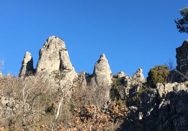
Les Fabres - Mas Rouquet


Walking
Medium
(1)
Saint-Félix-de-l'Héras,
Occitania,
Hérault,
France

15.7 km | 21 km-effort
5h 46min
Yes
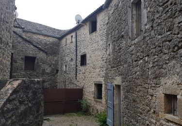
Le Caylar - Roc Castel - La Couvertoirade


Walking
Difficult
Le Caylar,
Occitania,
Hérault,
France

15.1 km | 19 km-effort
4h 5min
Yes


 SityTrail


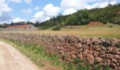
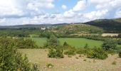
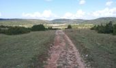
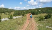
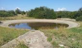
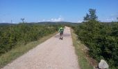


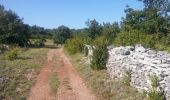
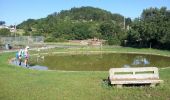

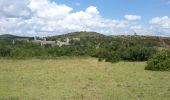
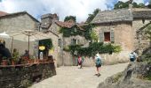
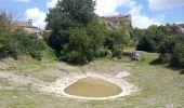
Une belle découverte du Larzac méridional. Paysages typiques et villages de templiers.